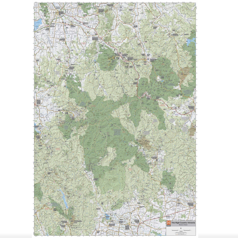
Hema Maps The Victorian High Country Map
$15.95
In Stock
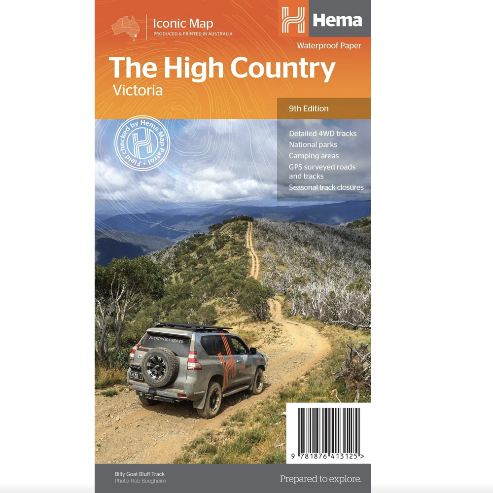
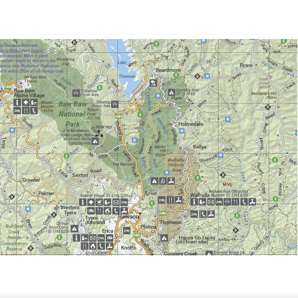
This edition of Hema’s best-selling High Country map, on durable waterproof paper, features Hema's iconic mapping and extensive points of interest. Featuring roads and 4WD tracks field-checked by the Hema Map Patrol for superior accuracy.
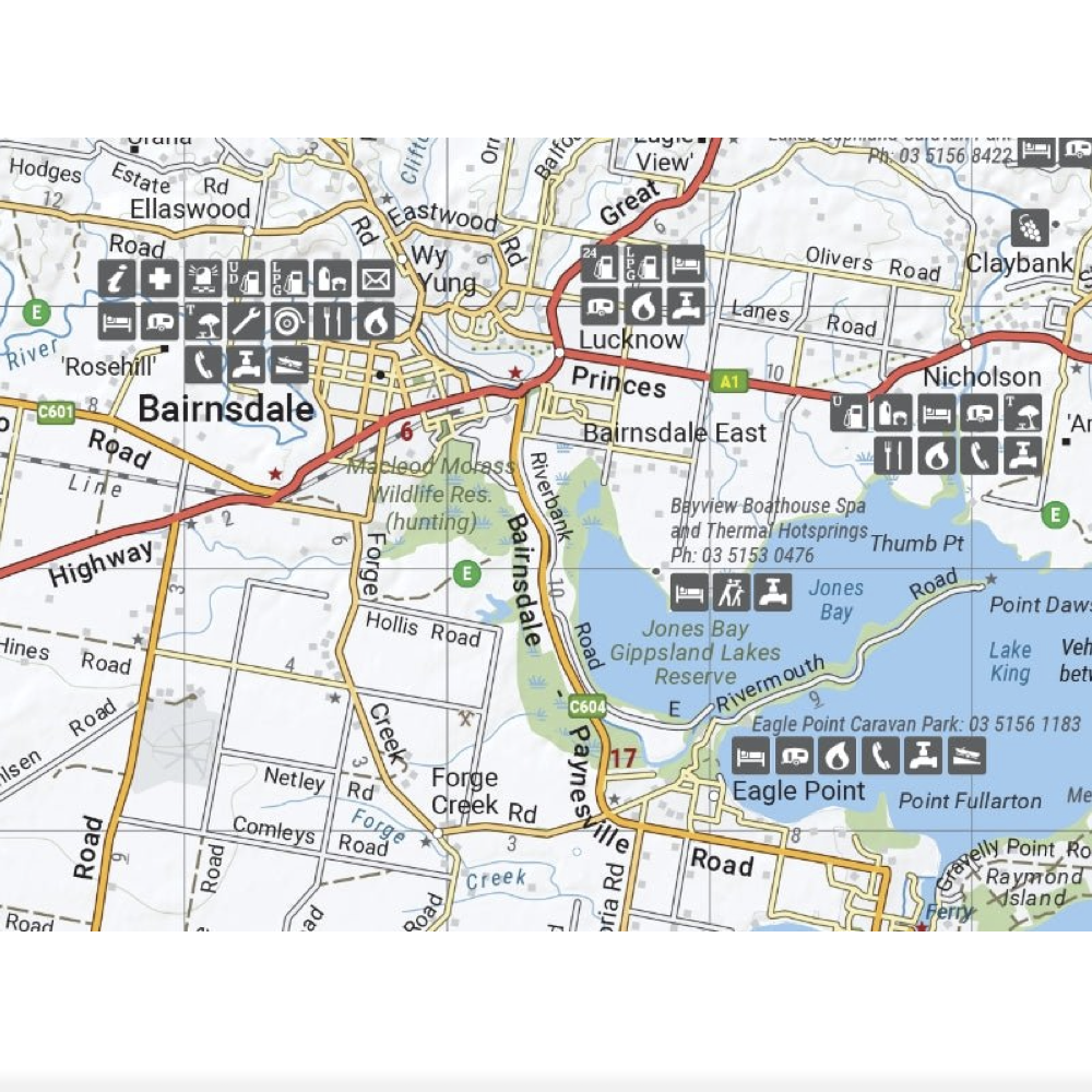
It combines Hema’s entire database of roads and 4WD tracks with touring points of interest and topographic information. Also included are seasonal track closures, camping areas, old townsites, huts, accommodation and distances.
Map includes the Victorian High Countries' most iconic tracks such as:
- Wonnangatta (Zeka Spur)
- Billy Goat Bluff
- Ingeegoodbee Track
- Mount Pinnibar
- Blue Rag Range Track
Key Features
- 4WD tracks
- Huts
- Camping areas
- Old townsites
- Seasonal track closures
- Road distances
- Accommodation
Key Specifications
- Edition: 9th
- Publication Date: 01/03/17
- Scale: 1:1,200,000
- Folded size (WxHxD): 140mm x 250mm x 3mm
- Flat size (WxH): 700mm x 1000mm
- Weight: 0.09kgs
(9781876413125)
| SKU | 9781876413125 |
| Barcode # | 6667188457 |
| Brand | Hema Maps |
| Shipping Weight | 0.0900kg |
| Shipping Width | 0.140m |
| Shipping Height | 0.030m |
| Shipping Length | 0.250m |
| Shipping Cubic | 0.001050000m3 |
Be The First To Review This Product!
Help other Adventure Moto Australia users shop smarter by writing reviews for products you have purchased.